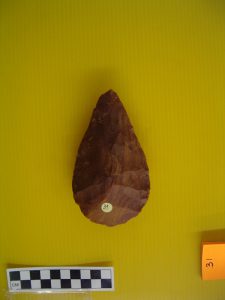
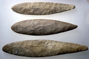
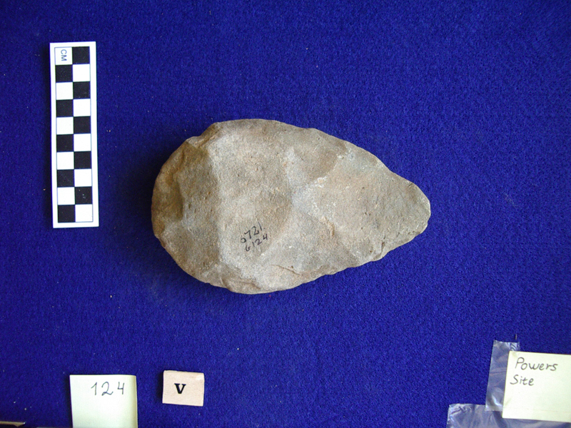
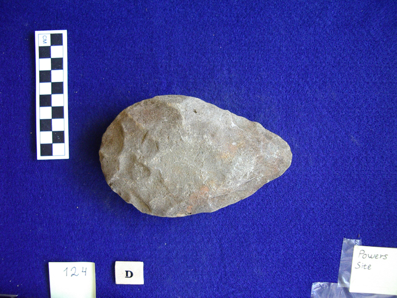
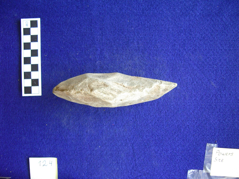
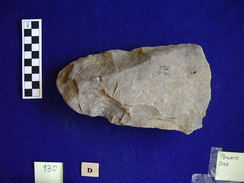
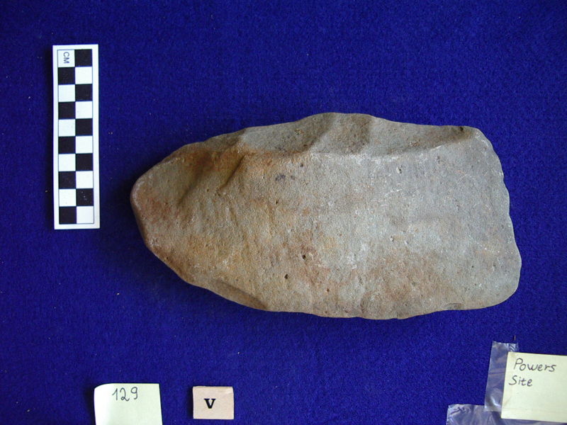
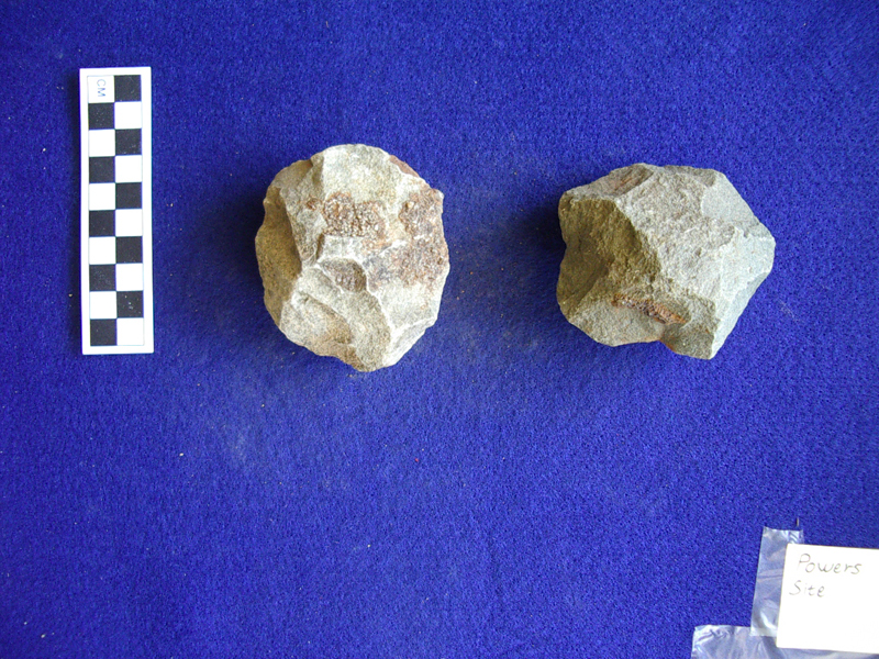
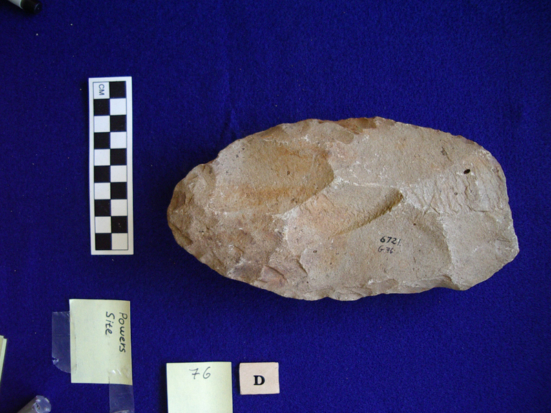
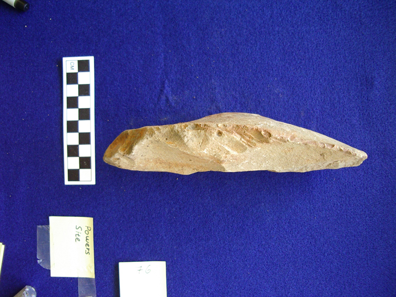
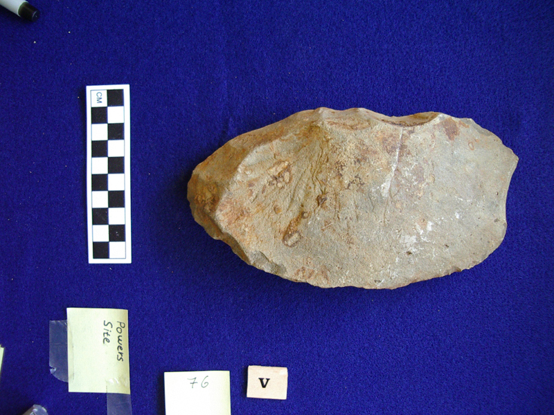
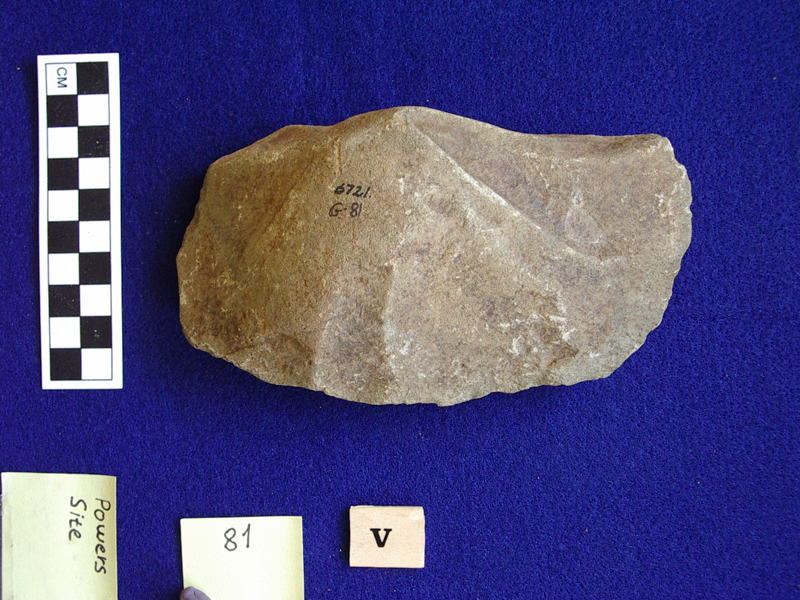
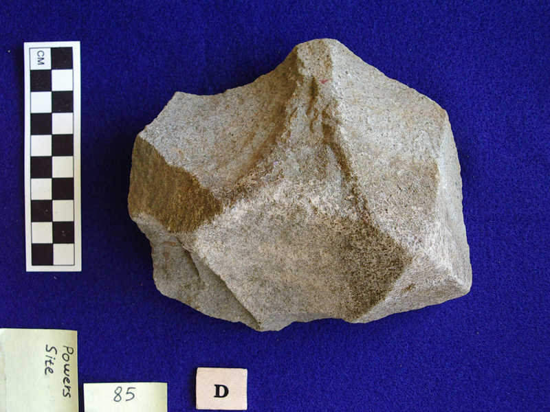
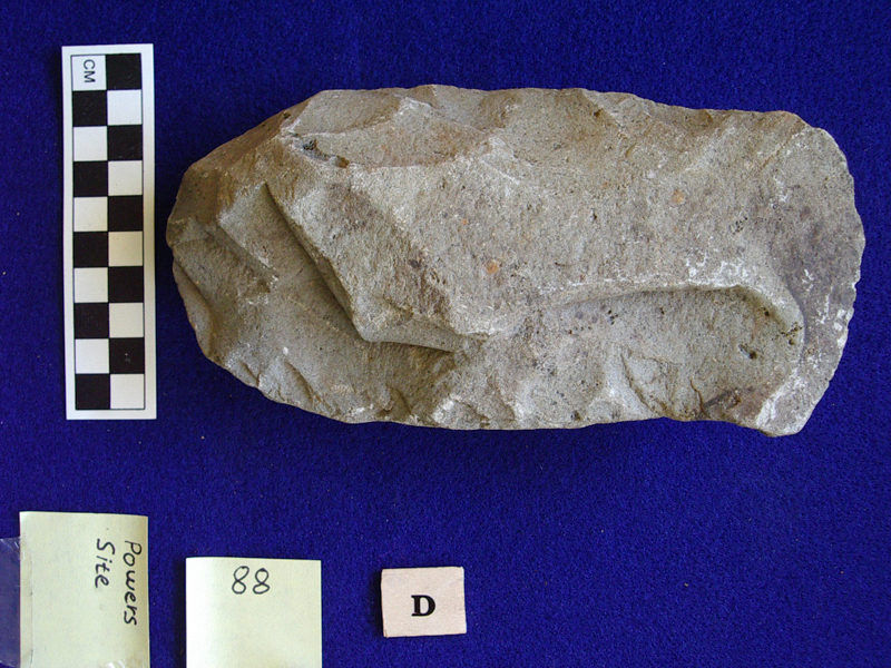
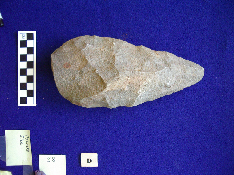
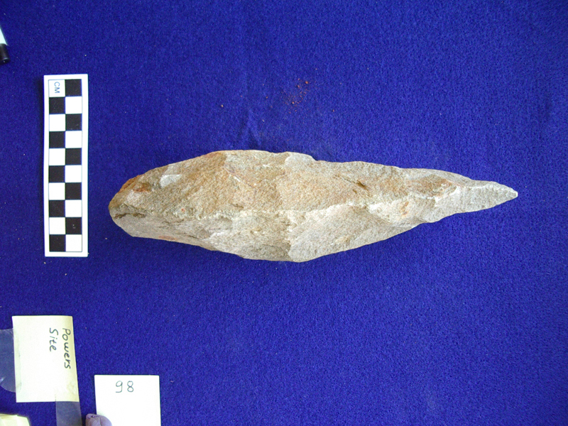
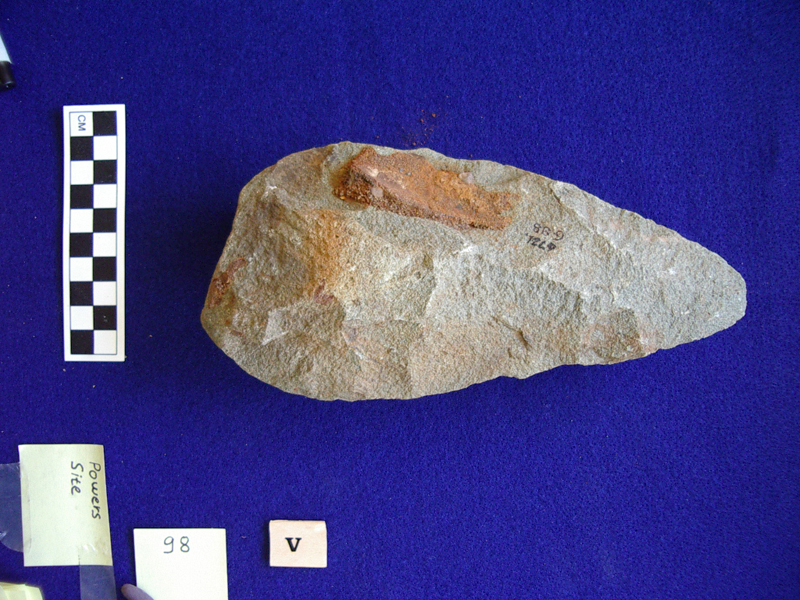
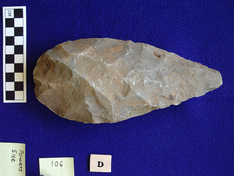
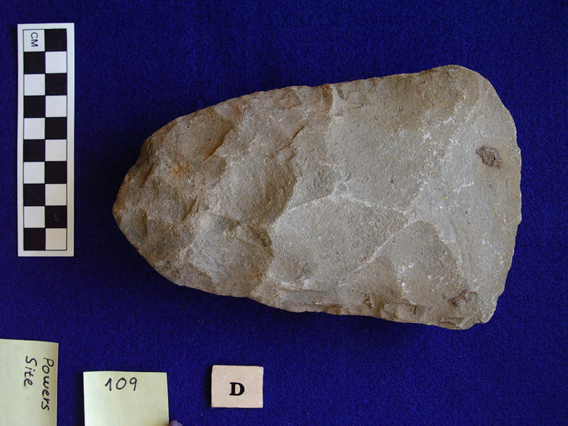
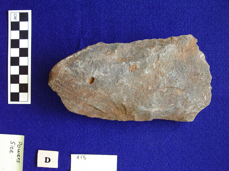
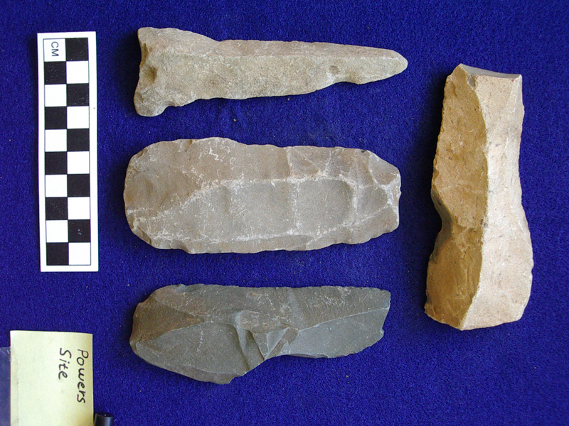
All 530 tools photos from Power’s Site are on request from prehistoricgalilee@gmail.com
Previous/Alternative Names – Pniel 1.
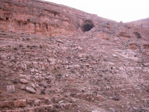
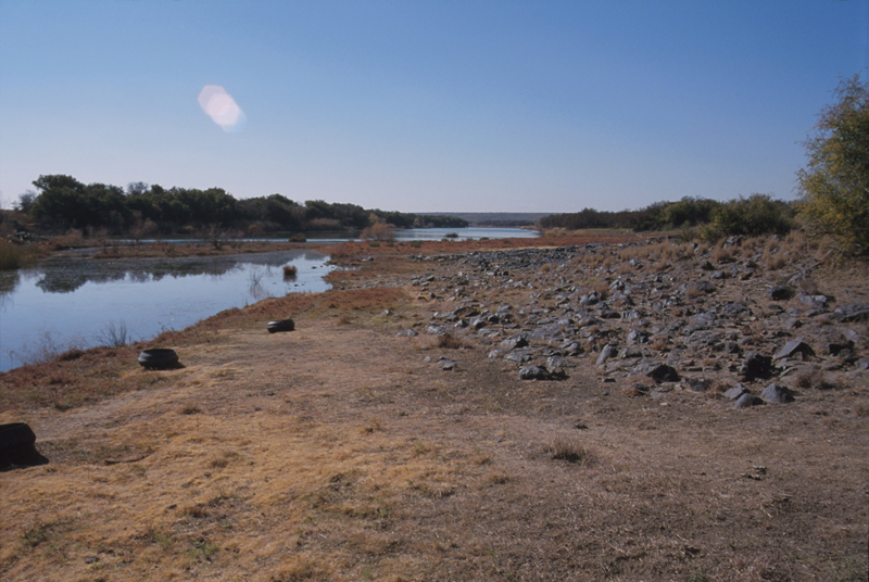
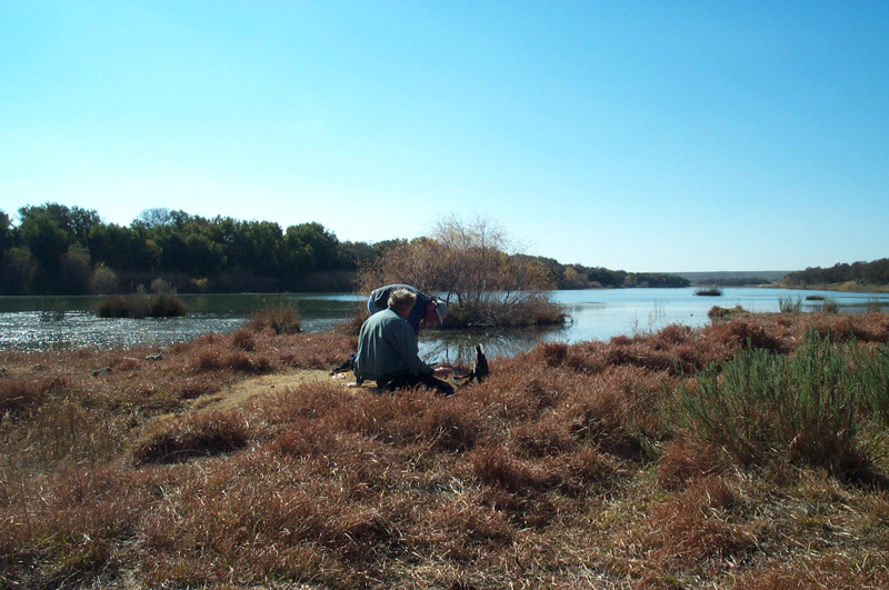
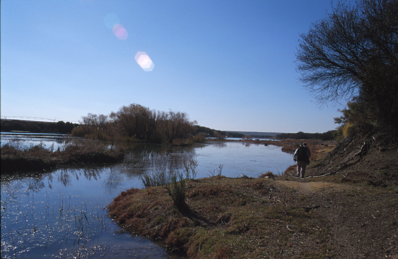
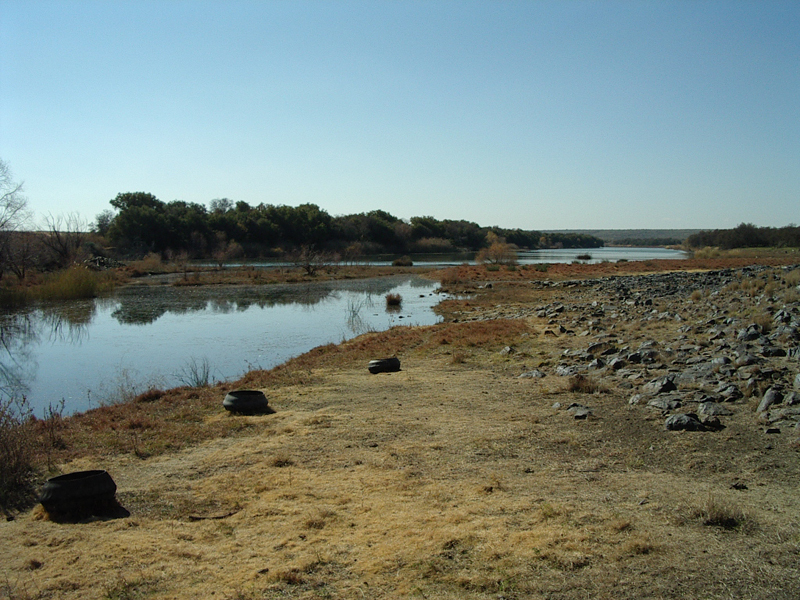
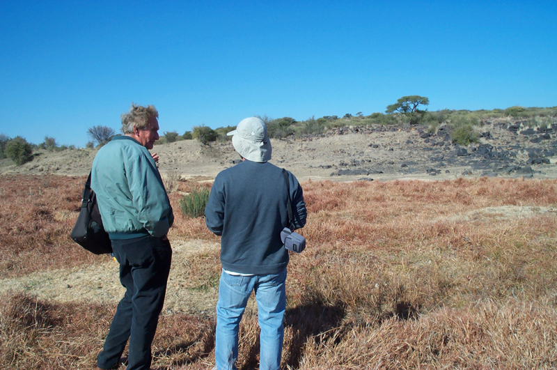
Location – Coordinates 28°35″45’S and 24°36″30’E (Beaumont and Morris 1990, 7). Power’s Site is located about 22 km northwest of Kimberley, on the southern bank of the Vaal River (Beaumont 1990c).
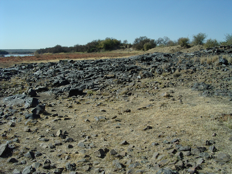
History of Research – Power’s Site is named after J. H. Power, who after discovering it collected its artifacts and bones for over twenty years. Massive quarrying by diamond diggers, primarily during the 1930s to the 1950s, exposed large quantities of Acheulian artifacts along the banks of the Vaal River. Most of the material was collected from dumps that had resulted from mining activity. During the years 1984–5, Beaumont collected additional artifacts (Beaumont 1990c).
Excavated Area – The artifacts sampled here originated in a large unselected sample of fresh to lightly abraded tools that were collected at two neighboring digger dumps in 1984. The material could be divided into a Fauresmith group with ferricrete adhesions and an Acheulian group lacking this trait (Beaumont, personal communication).
Stratigraphy – In 1954, an exposure occurred about 7 meters from the water’s edge. This enabled Power to describe the site’s stratigraphy (from top to bottom, Beaumont’s stratum numbers) as follows (Beaumont 1990c; Power 1955):
Stratum 1 – 2.5 m of compact superficial alluvium, archaeologically sterile.
Stratum 2 – 1.3 m of fine gravel containing Middle Stone Age (MSA) artifacts, alternating with levels of sandy clay.
Stratum 3 – 0.5 m of hard ferruginized sand and cobbles. The contact surface between strata 3 and 4 contains Acheulian material, with some Fauresmith handaxes.
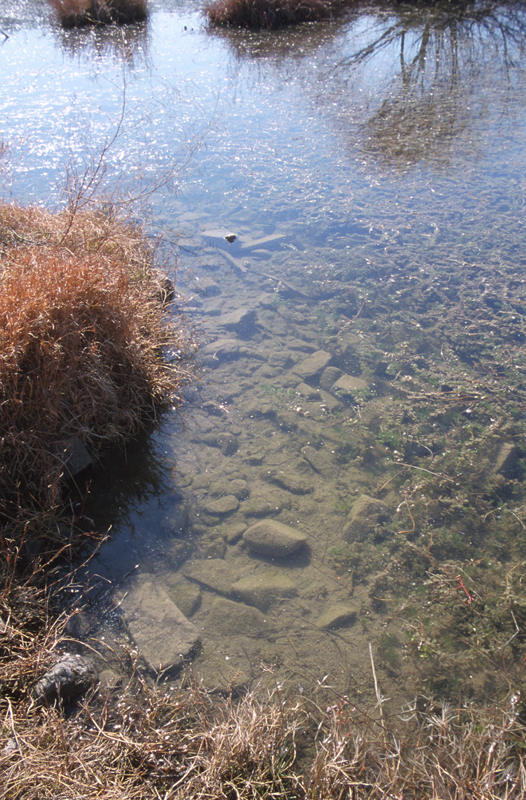
Stratum 4 – 2 m of “gravel” fining upward, overlying uneven bedrock. This stratum contains Early Stone Age (ESA) artifacts. Stratum 4 was defined by most scholars as belonging to the “Younger Gravels” (also known as Reitputs C; Helgren 1978). Alternatively, Beaumont (Beaumont 1990c) termed this layer “colluvial rubble”. The archaeological levels of the site are currently under water.